Pueblo, CO – The National Weather Service (NWS) in Pueblo has issued a Freeze Watch for parts of southern Colorado, warning residents of subfreezing temperatures expected to hit Tuesday night through Wednesday morning. The region could experience lows down to 14°F, marking one of the coldest nights of the season so far.
The Weather Alert and Affected Areas
According to the NWS Pueblo office, the Freeze Watch covers a wide area, including Canon City, Penrose, Springfield, Walsh, and surrounding parts of eastern Fremont County and Baca County.
Forecasters predict overnight lows between 14°F and 20°F, creating conditions for a hard freeze across much of the southern plains and foothills.
“Temperatures this low can kill crops, damage outdoor vegetation, and cause unprotected plumbing to freeze,” the NWS warned in its official advisory.
The watch remains in effect from Tuesday evening through early Wednesday, after which temperatures are expected to rise gradually later in the week.
Potential Impacts: Crops, Pipes, and Pets at Risk
The hard freeze could cause significant damage to sensitive plants, gardens, and irrigation systems that remain uncovered. Residents are urged to take preventive action ahead of the temperature drop.
Experts recommend the following safety measures:
- Cover outdoor plants with blankets, tarps, or frost cloths.
- Drain sprinkler and irrigation lines to prevent pipe bursts.
- Wrap exposed plumbing with insulation materials.
- Bring pets indoors or ensure they have warm, sheltered areas overnight.
Unprotected pipes are especially vulnerable in rural and high-elevation communities, where wind chills could make temperatures feel even colder than forecasted.
NWS Outlook: Transition to Winter Conditions
Meteorologists at the National Weather Service in Pueblo said this freeze marks a seasonal transition for southern Colorado, as fall gives way to winter-like conditions.
“This will likely be one of the coldest nights so far this fall,” forecasters noted. “It’s an early sign of the pattern shift toward colder weather systems across the Rockies and plains.”
Daytime highs on Wednesday are expected to remain well below average, hovering in the 30s and low 40s, before a gradual warming trend later in the week.
Local Preparations and Safety Reminders
Local emergency management officials are reminding residents to check heating systems, seal windows and doors, and monitor elderly neighbors or those without reliable heat sources. Utility companies in the region have also issued notices urging customers to conserve energy during peak heating hours.
Farmers in Fremont and Baca counties have already begun preparing for the freeze by covering remaining crops and disconnecting irrigation lines.
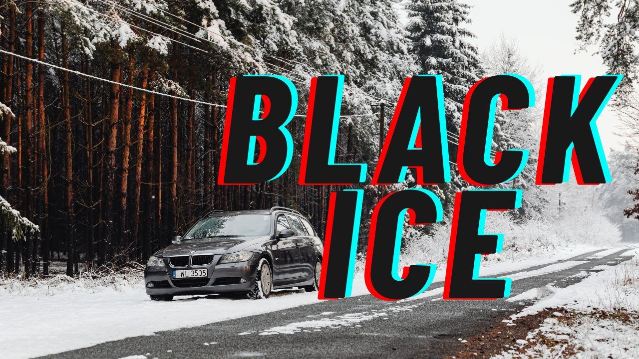
Drivers are advised to watch for frost and black ice early Wednesday morning, especially on bridges, shaded roadways, and mountain passes.
What’s Next: Gradual Warming After Wednesday
The Freeze Watch is expected to expire Wednesday morning, though nighttime temperatures will continue to hover near freezing for several days. By Thursday and Friday, forecasters predict a modest rebound, with highs returning to the 50s and 60s under mostly sunny skies.
However, long-range forecasts suggest that another cold front could move through southern Colorado by the end of the month, bringing the potential for light snow and additional freezes.
Conclusion
The upcoming freeze serves as a wake-up call for southern Colorado residents to begin preparing for winter conditions. With temperatures expected to dip into the teens, forecasters stress the importance of protecting people, pets, and property from the season’s first significant cold snap.
What are your thoughts on this early freeze warning? Share your tips for staying safe and warm in the comments below.


