Albuquerque, NM – The National Weather Service (NWS) has issued a Freeze Watch for much of central and eastern New Mexico, along with a Wind Advisory for the eastern plains, signaling a sharp temperature drop and gusty winds beginning early Tuesday morning. Residents across the region are being advised to prepare for a hard freeze and hazardous travel conditions.
The Weather Alert: Freeze Watch Across Central and Eastern New Mexico
According to the National Weather Service in Albuquerque, a Freeze Watch will take effect late Tuesday night through Wednesday morning, covering several key regions including Albuquerque, Santa Fe, and the Middle Rio Grande Valley.
The watch also includes multiple counties—Guadalupe, Quay, De Baca, Lincoln, Chaves, Curry, and Roosevelt—where forecasters expect overnight lows between 24°F and 28°F, with some locations potentially facing a hard freeze.
“This will be one of the coldest nights of the season so far,” meteorologists warned. “Sensitive vegetation and exposed pipes are at risk if not properly protected.”
The Freeze Watch also extends into the Texas and Oklahoma Panhandles, including cities such as Amarillo, Dumas, and Guymon, where temperatures could also drop to around 25°F.
Wind Advisory: Strong Gusts Across the Eastern Plains
In addition to the cold temperatures, Curry and Roosevelt counties are under a Wind Advisory from 5 a.m. to 1 p.m. Tuesday. Winds from the north to northeast are expected to reach 25–35 mph, with gusts up to 50 mph.
The strong winds could result in blowing debris, reduced visibility, and difficult driving conditions—especially for high-profile vehicles traveling along east–west highways.
“Travel could become challenging for semi-trucks and large vehicles,” the NWS noted. “Drivers should use caution and secure any loose outdoor items.”
Forecasters added that winds will begin to ease by Tuesday afternoon, but the cold air mass will linger well into Wednesday morning, keeping temperatures below normal.
Safety Measures and Public Precautions
Officials are urging residents to take immediate steps to protect themselves and their property from the freezing conditions. Recommended safety measures include:
- Covering sensitive outdoor plants and moving potted plants indoors.
- Draining or insulating exposed pipes to prevent freezing.
- Bringing pets inside to shelter them from the cold.
- Checking on elderly neighbors or those without adequate heating.
Experts emphasize that even a brief period of sub-freezing temperatures can cause damage to irrigation systems, gardens, and outdoor plumbing if precautions are not taken.
Regional Impact and Extended Forecast
The blast of cold air will primarily affect central and eastern New Mexico, but its reach will extend into western Texas and parts of southeastern Colorado. Areas in higher elevation—particularly near the Sandia Mountains and Raton Pass—may also experience wind chills in the upper teens early Tuesday morning.
While temperatures are expected to recover gradually by Thursday, the early-week cold snap serves as a reminder that winter-like conditions can arrive quickly in the Southwest.
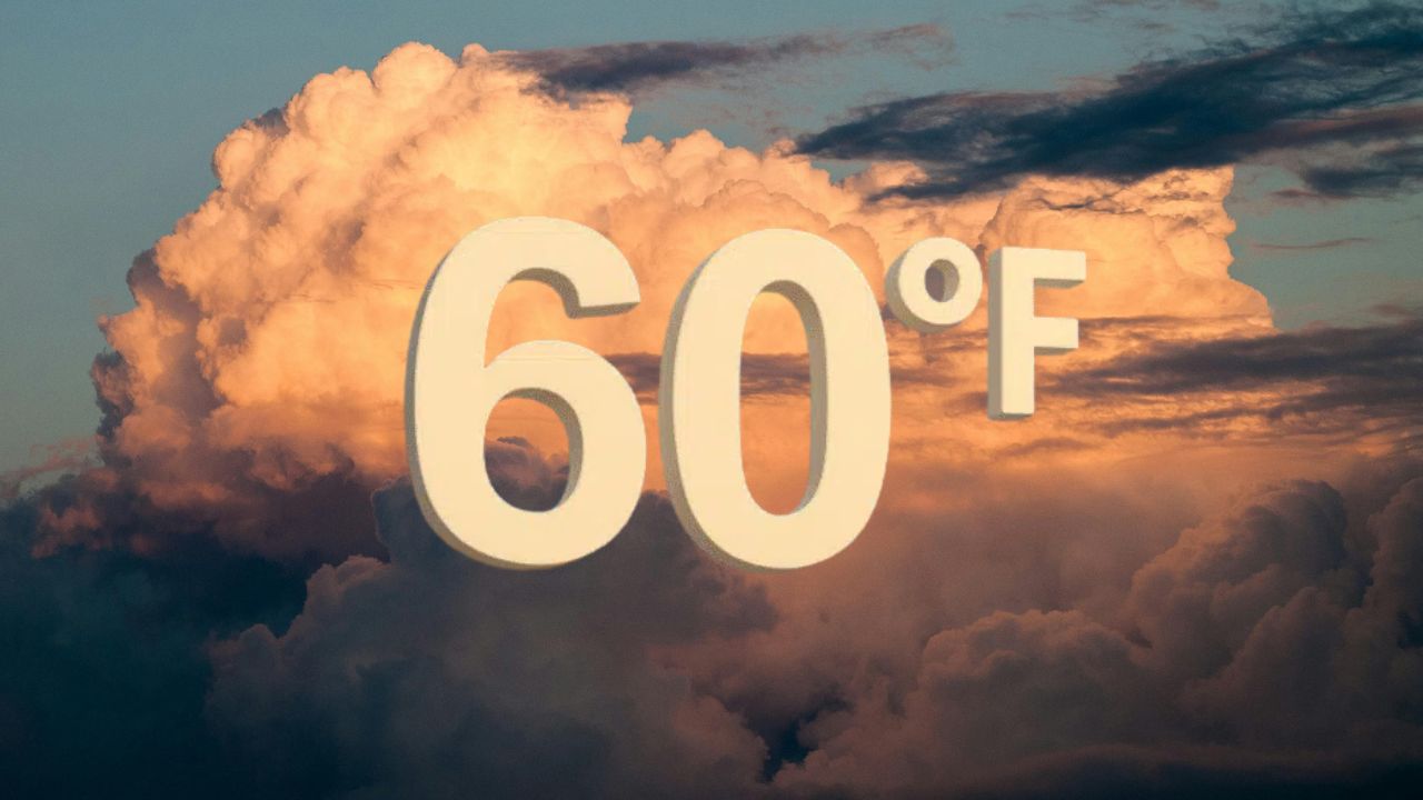
Meteorologists expect daytime highs to return to the 50s and 60s by the end of the week, with calmer winds and milder nights.
Conclusion
The combination of strong winds and freezing temperatures is expected to make for a cold, blustery start to the week across Albuquerque and surrounding regions. Residents are urged to remain weather-aware, follow local advisories, and take proper precautions to safeguard people, pets, and property.
How are you preparing for the freeze and strong winds this week? Share your thoughts and tips in the comments below.