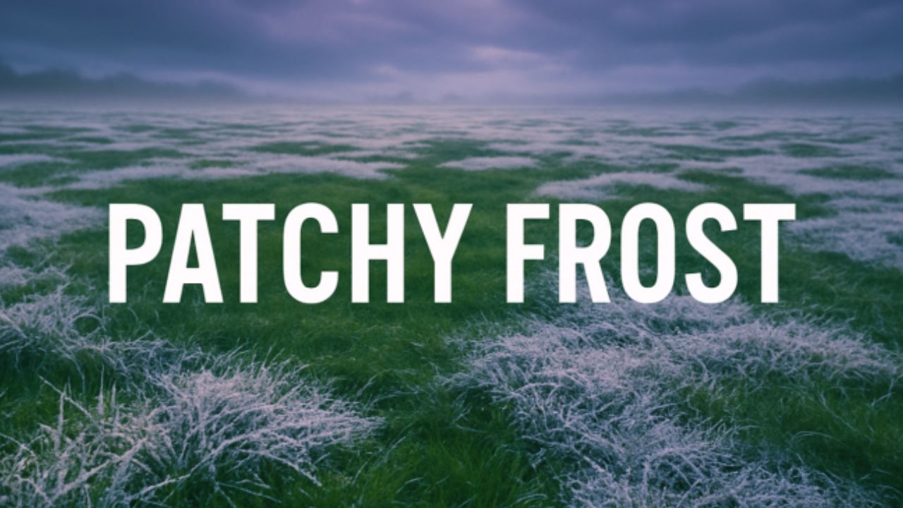
Pittsburgh, PA – Western Pennsylvania is bracing for its first widespread frost of the season as a cold, dry air mass settles over the region Friday night. According to the National Weather Service in Pittsburgh, temperatures are expected to dip near the freezing mark, bringing patchy frost to low-lying and rural areas across Allegheny County and nearby communities.
The Weather Outlook: First Frost of the Season Arrives
A sharp chill arrived across the area Friday morning, marking the transition into late-fall weather. Forecasters say skies will gradually clear through the day, allowing heat to escape overnight and setting the stage for frost formation.
Daytime highs on Friday will reach around 53°F, but temperatures will plummet after sunset, with calm winds and clear skies aiding rapid cooling. In outlying valleys and suburban areas, overnight lows could bottom out near 32°F, cold enough to damage sensitive plants and produce.
“Gardeners and outdoor enthusiasts should cover tender vegetation tonight to prevent frost damage,” advised the National Weather Service.
The frost advisory covers much of western and southwestern Pennsylvania, where calm winds and clear skies will create ideal conditions for frost to form just before sunrise on Saturday.
Weekend Forecast: Crisp Air and Sunshine
Despite the chilly start, Saturday will bring bright sunshine and comfortable afternoon temperatures in the mid-50s. The air will remain dry and refreshing, making it perfect for outdoor chores, local events, or early Halloween decorating.
Sunday looks slightly warmer, with highs near 58°F and light breezes expected throughout the day. Both days will feature low humidity and clear skies, allowing residents to enjoy some of the best fall weather of the season.
“It’s classic mid-October weather—crisp mornings, sunny afternoons, and clear, cool nights,” said a local forecaster with the National Weather Service in Pittsburgh.
Early Next Week: Clouds and Light Showers Return
The calm, dry pattern will shift early next week as a weak system moves in from the west. By Monday night into Tuesday, clouds will increase, bringing light showers and slightly milder temperatures.
Forecasters say the upcoming system will not bring any snow or freezing rain, but it may signal the start of a more unsettled weather pattern heading into late October.
“We’ll stay in a classic autumn cycle—two days of sunshine followed by a brief return to clouds and showers,” meteorologists explained.
No severe weather is expected, though morning commutes early next week could see damp conditions in spots.
Background: A Seasonal Shift Toward Colder Days
The first frost in western Pennsylvania typically arrives between mid and late October, depending on location and elevation. This weekend’s expected chill fits that seasonal norm, signaling that winter’s approach is not far behind.
With long nights and clear skies becoming more common, radiational cooling—when heat escapes the ground overnight—creates ideal conditions for frost formation in valleys and open fields.
Residents are encouraged to disconnect garden hoses, cover flowers and vegetables, and prepare outdoor systems for colder weather as temperatures continue to trend downward over the next several weeks.
What’s Next: Staying Prepared for the Season Ahead
As October continues, forecasters expect fluctuating temperatures, alternating between brief warm-ups and chilly nights. While no snow is in the forecast yet, this weekend’s frost serves as an early reminder that winter is on the horizon across Pennsylvania.
“This first frost is a preview of what’s to come,” said the weather service. “Residents should start winterizing their homes and gardens before the next cold front arrives.”
What are your thoughts on this early frost in western Pennsylvania? Share your experiences and weekend plans in the comments below.


