New York, NY – A strong nor’easter has arrived in the Tri-State Area, unleashing high winds, heavy rain, and widespread coastal flooding from Sunday afternoon through Monday night. Officials have declared a state of emergency in New York City and New Jersey, urging residents to stay alert as the storm lingers offshore and intensifies overnight.
Governor Kathy Hochul emphasized preparedness in a Sunday statement, warning residents about the storm’s potential dangers.
“With high wind warnings and flood risks, staying alert, vigilant, and taking steps to prepare is crucial for everyone’s safety,” she said, adding that state agencies are ready to assist where needed.
What to Expect From the Nor’easter
Forecasters say the storm will remain in the region from Sunday afternoon until late Monday, bringing a mix of damaging winds, relentless rainfall, and flooding along the coast.
- Timing: 3 p.m. Sunday through 9 p.m. Monday
- Rainfall: 1–3 inches, with higher totals near the coast
- Winds: Gusts between 40–60 mph, strongest along the shoreline
- Flooding: Moderate to major coastal flooding expected for all coastal communities
- Temperature: Steady, with lows in the mid-50s and highs in the low 60s
According to the National Weather Service, coastal regions will face the brunt of the storm, especially in Monmouth, Ocean, and Suffolk counties.
Storm Timeline and Impacts
By Sunday evening, the low-pressure system hovered offshore near the Mid-Atlantic, pushing bands of rain and wind into New Jersey and New York. Meteorologists expect rounds of heavy rainfall and gusty winds to continue throughout Monday, with brief breaks in between.
The heaviest rain and strongest wind gusts are forecast late Sunday into early Monday morning, creating difficult travel conditions and potential power outages.
By Monday evening, the system is expected to drift eastward, but lingering showers may persist into early Tuesday before skies begin to clear.
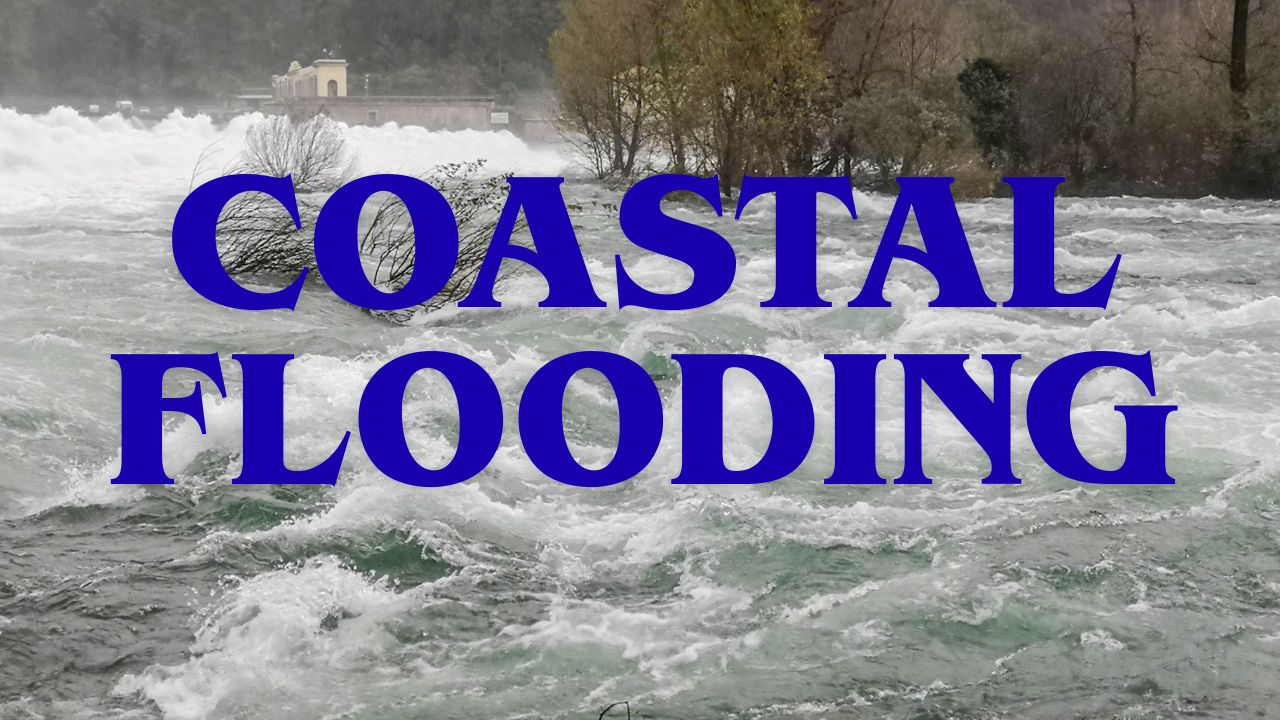
Coastal Flooding and Erosion Risks
One of the storm’s biggest threats is prolonged coastal flooding. Because the nor’easter will stall for an extended period, multiple high-tide cycles will occur, leading to repeated flooding events in low-lying communities.
Flood levels could reach up to three feet in some areas, particularly along the Jersey Shore and Long Island coastlines. Local emergency management agencies are warning of significant beach erosion, damaged dunes, and water-covered roadways.
Residents are advised to move vehicles to higher ground and avoid driving through flooded streets. Free parking is being offered in Atlantic City’s Wave Parking Garage at 2200 Fairmount Avenue for those in flood-prone zones.
Power Outages and Tree Damage Expected
Meteorologists warn that wind gusts of 40–60 mph could bring down tree limbs and power lines, especially since many trees still have leaves, making them heavier and more vulnerable to wind damage.
The combination of saturated soil and high winds increases the risk of falling trees, which could cause home damage and localized outages across the region. Utility crews are on standby as residents are urged to charge devices and prepare for possible service interruptions.
Tri-State Weather Alerts
High Wind Warning: Eastern Monmouth, Ocean, and Suffolk counties through Monday afternoon
Wind Advisory: Coastal Fairfield, Westchester, Essex, Union, the Bronx, Manhattan, Brooklyn, Queens, Staten Island, and Nassau counties through Monday afternoon
Coastal Flood Warning: All coastal sections through Monday evening
Coastal Flood Advisory: Coastal Fairfield County through Monday evening
Stay Safe During the Storm
Authorities recommend that residents:
- Avoid unnecessary travel until winds subside.
- Keep phones and flashlights fully charged.
- Check on neighbors, especially the elderly or those in flood zones.
- Monitor official forecasts and alerts from local emergency management offices.
Final Takeaway
This nor’easter marks one of the season’s first major coastal storms, reminding residents of how quickly fall weather can turn dangerous. With strong winds, flooded roads, and unstable trees, officials stress that preparation and caution remain the best defense against severe weather impacts.
What’s your area experiencing during this storm? Share your updates or photos in the comments below and stay informed.