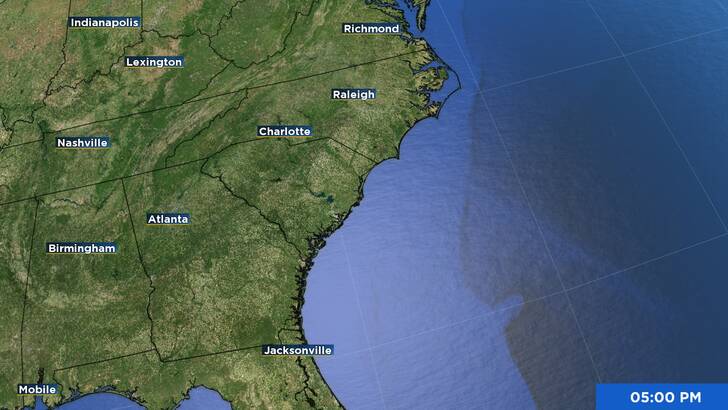
Location |
35 miles N of Ocean City Maryland |
Wind |
25 mph |
Heading |
NE at 21 mph |
Pressure |
29.89 |
Coordinates |
75.0W, 38.8N |
Suggested Videos
The center of Post-Tropical Cyclone Chantal was situated close to latitude 38.8 North, longitude 75.0 West, at 500 PM EDT (2100 UTC). The post-tropical cyclone is currently traveling at around 21 mph (33 km/h) toward the northeast, and it is anticipated that this motion will continue as its forward speed increases.
Higher gusts and maximum continuous winds are around 25 mph (35 km/h). There won’t be much of a difference in strength tonight.
A minimum central pressure of 1012 mb (29.89 inches) is estimated.
* Parts of the Delmarva * Parts of Central and Southern New Jersey * Parts of Southeastern Pennsylvania are under a flood watch.
The Tropical Cyclone Discussion’s AWIPS header MIATCDAT3 and WMO header WTNT43 KNHC contain the key messages for Post-Tropical Cyclone Chantal.
RAINFALL: Into this evening, parts of the Delmarva, New Jersey, and Pennsylvania will continue to see significant rainfall due to Post-Tropical Cyclone Chantal. It is anticipated that there will be an additional 1 to 3 inches of rainfall, with local totals reaching 5 inches. Flash flooding can occur in isolated or dispersed areas.
The National Weather Service Storm Total Rainfall Graphic, accessible at hurricanes.gov/graphics_at3.shtml?rainqpf, provides a comprehensive representation of the predicted rainfall and flash flooding linked to Post-Tropical Cyclone Chantal.
See the companion storm summary at WBCSCCNS4 with the WMO header ACUS44 KWBC or click this link to view a list of rainfall observations (and wind reports) related to this storm: www.wpc.ncep.noaa.gov/discussions/nfdscc4.html
SURF: Over the course of the next day or so, beaches along the U.S. East coast, from northeastern Florida to the Mid-Atlantic states, are predicted to continue to experience life-threatening surf and rip current conditions.
Here is a graphic representation of the risk of rip currents in the United States: hurricanes.gov/graphics_at3.shtml?ripCurrents