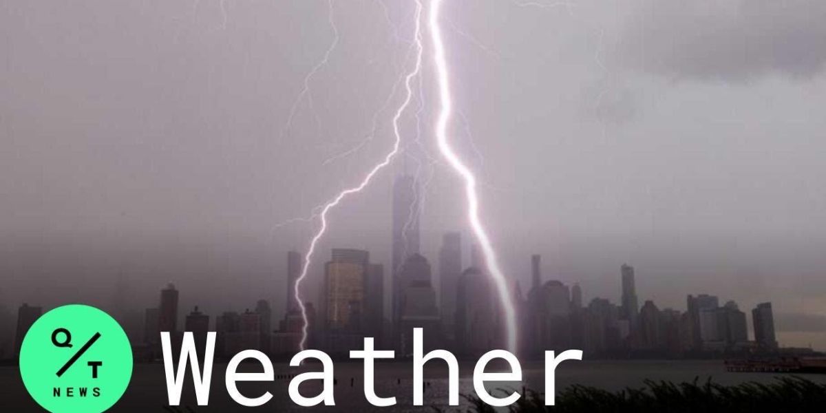
The severe weather threat is set to return to New York in just 24 hours after a deadly storm tore through the region earlier this week.
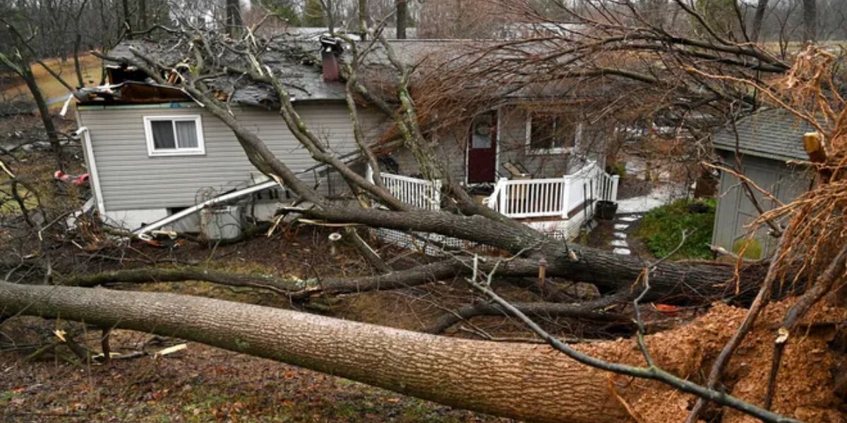
Four people were killed in neighbouring Pennsylvania as storms hammered through much of the US on Tuesday night. In central New York, more than 19,000 people were left without power due to powerful wind gusts that downed trees and power lines as a line of destructive thunderstorms made their way from Texas to New York.
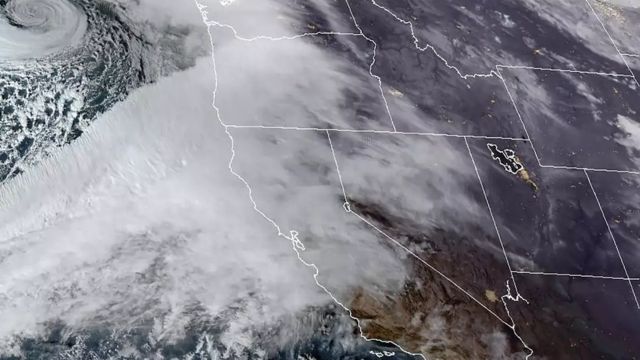
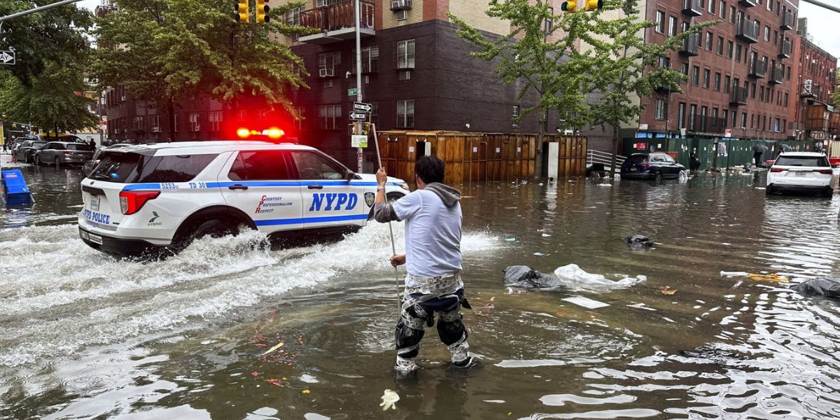
On Friday, more storms are set to begin making their way towards the region with showers and thunderstorms forecast into Saturday. While the rain will bring much-needed drought relief ahead of dry season, forecasters warn it could also lead to flooding in some areas.
Cooler Thursday in New York before storms begin to roll in
The end of April saw some warm weather for New York as temperatures soared into the 80s but May will get off to a cooler start.
“We’re expecting more of an onshore wind on Thursday so coastal areas will be cool in the 50s and 60s, even in New York City just below 70 degrees,” NBC Storm Team 4 Meteorologist Janice Huff said.
Arkansas Storm Team Forecast: Sunshine Returns Friday After Storm Chances in the East
By Friday, temperatures will warm up, rising to the high 70s but the warm weather will come with a few isolated showers as storms begin to make their way towards the region.
“There’s a greater chance for showers and storms on Saturday,” Huff notes. Forecasters predict thunderstorms into the weekend that could lead to flooding.
New York storm timeline as wet weekend ahead
Thursday night – Mostly cloudy and mild with some isolated showers
Friday morning – Some storms will begin to make their way towards the region and their will be patchy fog before 11am.
Friday afternoon – some thunderstorms are possible after 2pm.
Friday evening – A few isolated showers and thunderstorms will start by around 6.30pm.
Severe Winter Storm to Hit Texas and Surrounding Regions
Overnight Friday – During the night, showers will start to pick up as the storm makes its way over the region, patchy fog will return at around 2am.
Saturday afternoon – Showers will begin to pick up in frequency and intensity by around 2pm. By 5pm showers are likely and thunderstorms are possible.
Saturday night – Showers and thunderstorms are likely to continue throughout the night.
When will the rain in New York end?
While the Saturday is set to mark the worst of the stormy weather, wet conditions are likely to continue into next week.
“It looks like a rainy pattern all the way through Monday, maybe even Tuesday but after that, it starts to dry out across the Great Lakes and the northeast,” Huff said. She added: “Temperature-wise we should be on the mild and warm side going into May 10th of next week.”
Possible flooding amid drought relief
The rain forecast this weekend is much-needed amid drought conditions and could provide critical extra time ahead of dry season by dampening vegetations, reducing the risk of wildfires.
However, the storms will create a flooding risk. “By the way, with all that rain that’s coming that we need because of the drought situation we could be looking at some isolated flooding in our area over the weekend into early next week because of so much rain,” Huff warns.